

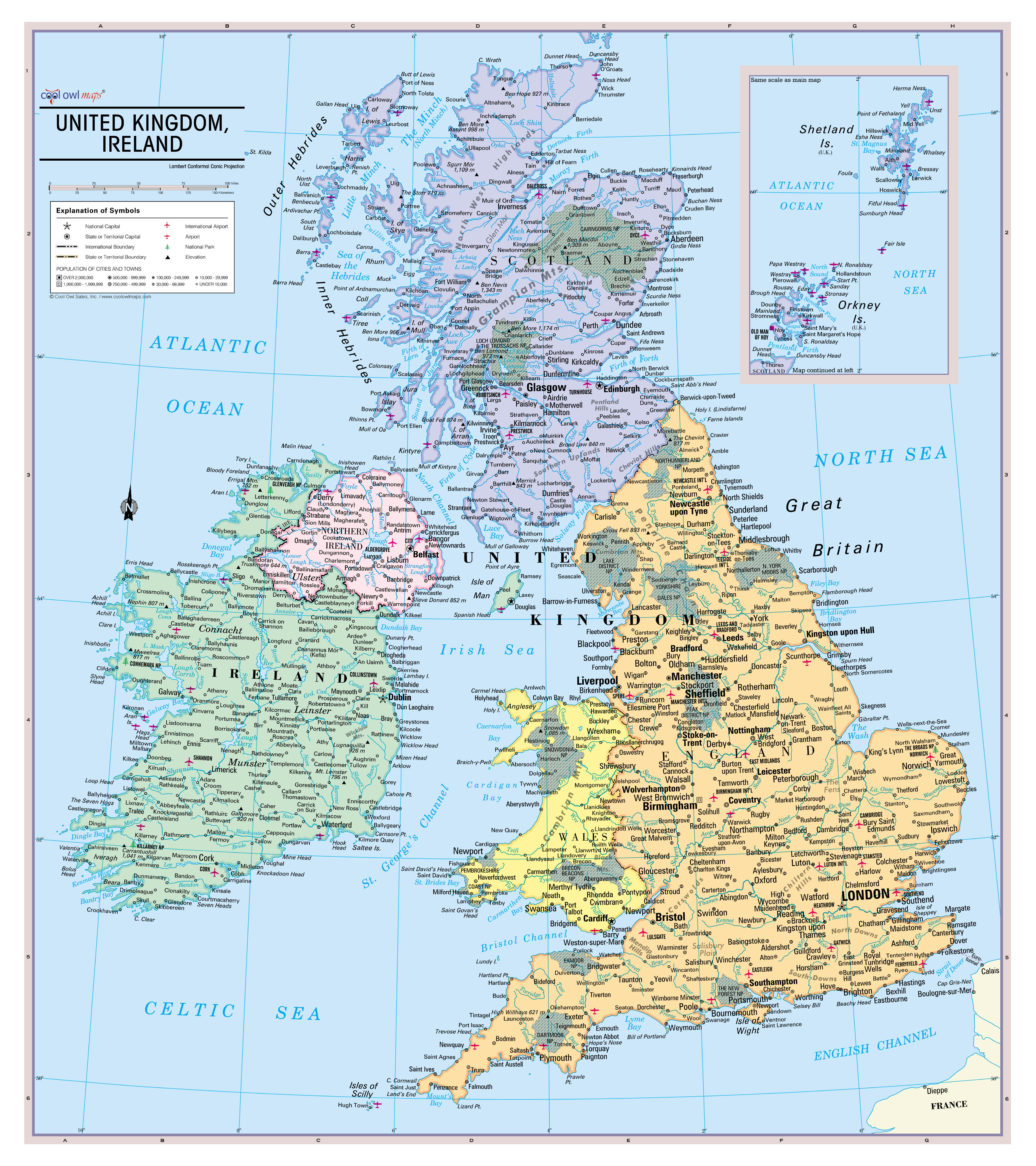
Unique, full color, and detailed this political map of "United Kingdom and Ireland" features geographic detail and accuracy. The map shows all UK state country boundaries, place names, a selection National Parks, Airports, bodies of water, and more. Inset maps show the Shetland & Orkney Islands.

Perfect for Schools, Home, Office or Home Schooling.

- All current Information
- UK State Countries colored with banded boundaries
- Major cities ranked by population National Parks and Airports
- Major Geographical features
- Size 24"W x 27"H inches (paper or laminated)
- MADE in USA / PRINTED in USA 2023
United Kingdom and Ireland Wall Map Poster
From $19.99Sale Price
Excluding Sales Tax
Out of Stock